About AERO AI GEOSPATIAL TECHNOLOGIES
Pioneering the geospatial technology revolution. From our base in Benin City, we're transforming complex spatial data into actionable intelligence for sustainable development.
Our Story
AERO AI LIMITED, registered in Edo State (RC: 1729352), is at the forefront of the geospatial technology revolution. We are a team of experts dedicated to providing GIS consulting, software development, and surveying services that empower professionals in the built and natural environment.
From our base in Benin City, we are transforming complex spatial data into actionable intelligence, enabling a new era of efficiency, transparency, and sustainable growth across Africa's most dynamic economy.
We believe every great project starts with the right foundation. That's why we've brought together expert surveyors registered by the Surveyors Council of Nigeria (SURCON) to deliver trusted, professional, and timely survey services.
Partner With Us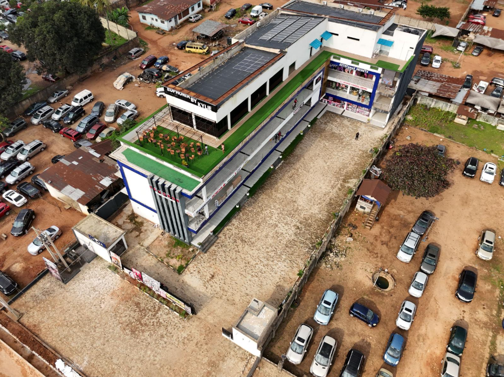
Our Home Base in Benin City
Where innovation meets precision
To empower professionals with the geographic intelligence they need to build a better, more resilient future. We are committed to innovation and excellence, partnering with clients on transformative projects that drive sustainable growth and positive change.
To be the leading geospatial innovation company, using cutting-edge technology to shape communities, transform spaces, and contribute to making the nation greater. We envision a future where data-driven decisions power sustainable development.
Leadership
Visionary leadership driving geospatial technology transformation
Osarodion Victory Igbinobaro
Founder | CEO
Visionary leader and Co-Founder of AERO AI, Osarodion Victory is a certified geospatial developer and FAA-licensed drone pilot with expertise in geospatial technology, photogrammetry, and immersive 3D visualization. He is passionate about using geospatial intelligence to transform communities and drive sustainable development across industries.
Caesar Oviawe
Geospatial Program Manager | Surveyor
Dedicated Surveyor and GIS Analyst with strong expertise in surveying, geodesy, and advanced geospatial technologies. Caesar specializes in building and managing comprehensive spatial datasets, UAV and GNSS fieldwork, and advanced GIS/remote sensing analysis to deliver actionable insights for land administration, urban planning, and environmental studies.
Our Approach
How we deliver exceptional results
Local Expertise
Deep understanding of terrain, regulations, and market needs. We know the unique challenges and opportunities in the built and natural environment.
Cutting-Edge Technology
State-of-the-art tools including Cesium JS, QGIS, Reality Scan, and WebODM. We combine international technology standards with local implementation expertise.
Professional Standards
SURCON-registered surveyors and compliance with professional standards. We support clients with Certificate of Occupancy applications and regulatory requirements.
Our Technology Stack
Industry-leading tools and platforms powering our geospatial solutions
Cesium JS
QGIS
Reality Scan
WebODM
ArcGIS
SiEGA
Ready to Partner with AERO AI?
Join us in transforming the built and natural environment through innovative geospatial technology